
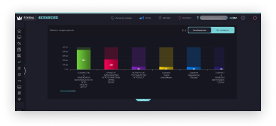
Our mission is to develop and expand the farmers' land bank, to help fill the budget of territorial communities through efficient land asset management, and to minimize the carbon footprint whilst using resources sustainably.
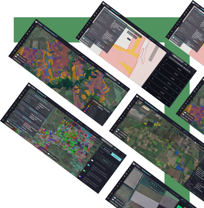
Our system is now available in almost every region of Ukraine.
Each quarter we develop new functionality for our users and improve the usability of the system.
A design organization offering professional and timely project documentation for your land inventory.
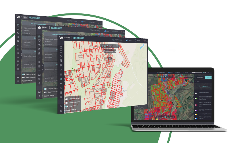
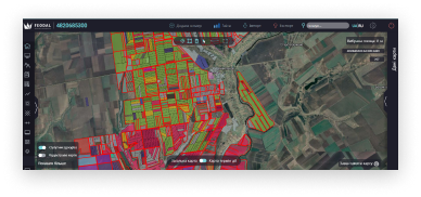
Complete information about your own and your competitors' lease agreements and expiry dates
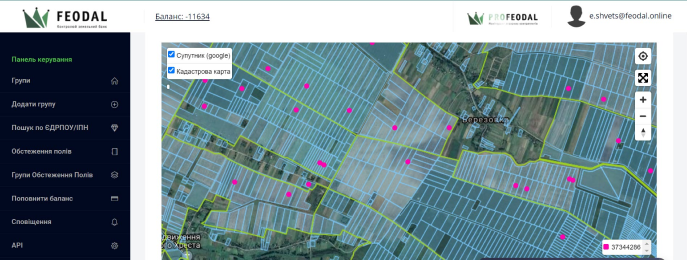
Option to see plots with no lease agreements
General analysis of area and contracts used by all agriproducers operating in the community
Contouring of land plots by the Feodal team
Control of technical losses and illegal occupation of land
Option to receive notifications of changes in land registration acts
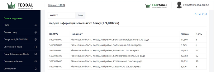
Option to monitor by the USREOU code or TIN
Export of data into Exel
User-friendly and easy interface
Excerpts from the StateGeoCadastre and SRPR
Comprehensive information about the lease agreements and expiry dates of all land plots
Option to see plots with no lease agreements
General analysis of area and contracts used by all agriproducers operating in the community
Contouring of land plots by the Feodal team
Visualization of illegal occupation of community land, field roads, land cultivation with no title documents
Record of permissions for free land grants
